Interactive Route Map: Simyang Changgye
The Journey from Chosŏn to Shenyang · 1637
The Simyang Changgye (瀋陽狀啓) is a record of the eight-year reports submitted to the
Royal Secretariat (Seungjeongwon) by the accompanying ministers and royal lecturers of the Crown Prince Tutorial
Office (Sigangwon). These reports were sent between 1637 (the 15th year of King Injo) and 1643, while Crown
Prince Sohyeon, Grand Prince Bongrim (later King Hyojong), and their accompanying officials from the Chosŏn
Dynasty were held hostage in Shenyang, Qing Dynasty. The routes on this map are summarized and extracted from
the first volume.
Chosŏn Territory (Gyeonggi, Hwanghae, Pyeongan)
Qing Territory (Liaodong / Shengjing)
Historical Landmark (Not part of Crown Prince's route)
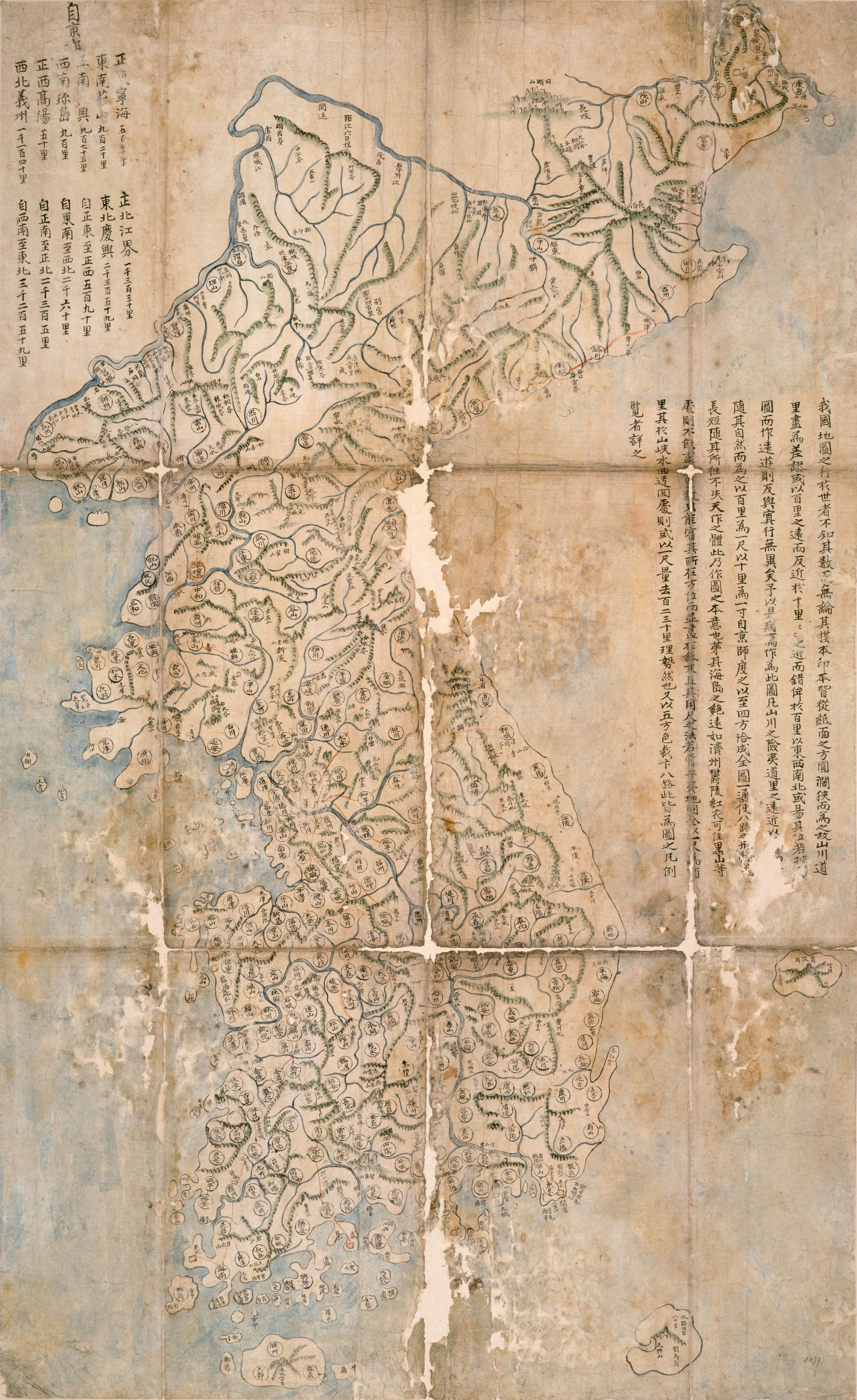
Spots on 18th-Century Chosŏn Map
💡 Tip: Scroll to zoom, drag to pan ·
Paldo Chongdo (八道總圖), from Paldo Chido 《八道地圖》(奎10331), ca. 1776–1787.
Manuscript. Kyujanggak Institute for Korean Studies, Seoul National University.
Custom Map Annotation Tool
Use the interactive Historical Map Annotator to add your own custom marks, labels, and annotations to this 18th-century Chosŏn map.
Open Map Annotator Tool →